History of the PH14 Realignment, Powerlines South of Mt Cooke
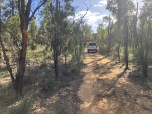
While the powerline was a convenient route between Mt Cooke and Nerang when the Track was first built, it has become an unwelcome, slippery section in recent years.
It was identified for realignment in 2017 and following route selection in 2019 then heritage and flora surveys in 2020/21, the Disturbance Assessment System (DAS) proposal was submitted in late 2024. This might seem like a long time, but your writer’s volunteer hours were also spent on other realignments and three major South Coast Stabilisation projects.
DAS approval was granted swiftly allowing the route to be flagged late last December with eventual construction following in April once the Fire Danger Rating dropped from High to Moderate and remained so.
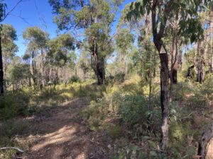
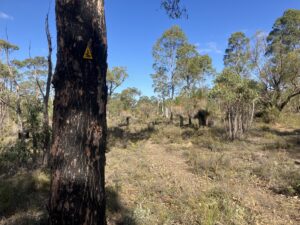
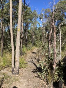
The realignment comprises three short sections (1) heading south-east from the point where the Track intersects the powerline to (2) hop onto Kennedy Road then (3) south-east to rejoin the existing trail. A total 900m.
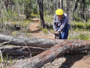
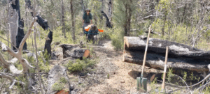
Completed in one day by two Support Volunteers, PH14 will be a welcome change from the slippery powerline route. The northern section passes through Parrot Bush and grevillea which is habitat for many nectar eating birds such as the colourful Western Spinebill and other honeyeaters.
By Mark Davidson