Bibbulmun Track Map 6 – Northcliffe
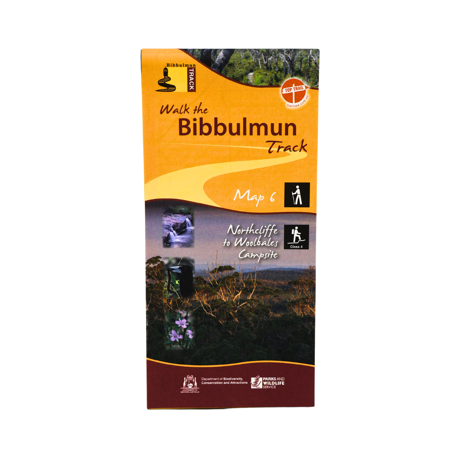
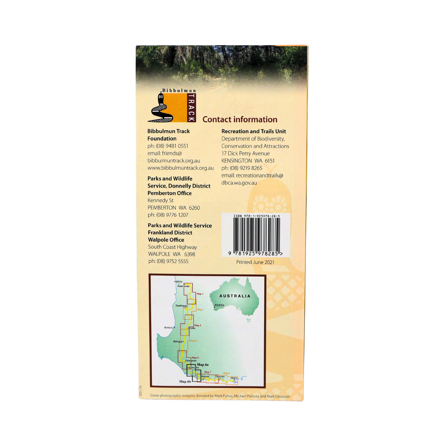
This map extends from Middleton Rd to Woolbales Campsite.
- Latest edition.
- Covers Middleton Rd to Woolbales campsite including Northcliffe.
- 1:50 000 topographic map.
- Shows permitted vehicle access points, disease risk areas, campsites, terrain profiles, distance tables, Track town inset maps and much more.
Campsites include:
- Gardner.
- Lake Maringup.
- Dog Pool.
- Mt Chance.
- Woolbales.
$12.60
In stock
You may also like…
Bibbulmun Track Guidebook 6 and Map 6 – Northcliffe
Buy the Northcliffe Guidebook and Map together.
- Price $27.30
- Buy this