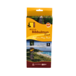
Bibbulmun Track Map 7 – Walpole
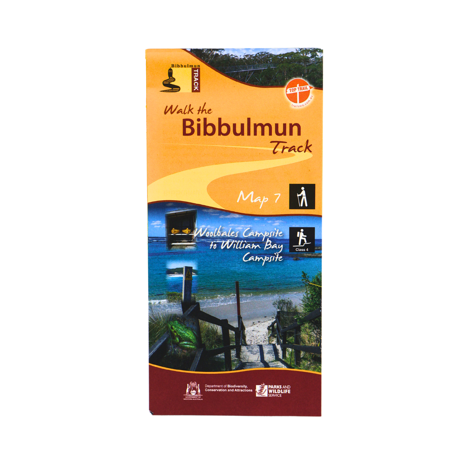
This map extends from Woolbales campsite to William Bay campsite.
- Latest edition.
- Covers Woolbales campsite to William Bay campsite including Walpole and Peaceful Bay.
- 1:50 000 topographic map.
- Shows permitted vehicle access points, disease risk areas, campsites, terrain profiles, distance tables, Track town inset maps and much more.
Campsites include:
- Woolbales.
- Long Point.
- Mt Clare.
- Frankland River.
- Giants.
- Rame Head.
- Boat Harbour.
- William Bay.
$11.95
In stock
You may also like…
Bibbulmun Track Guidebook 7 and Map 7 – Walpole
Buy the Walpole Guidebook and Map together.
- Price $25.95
- Buy this