25 September 2020
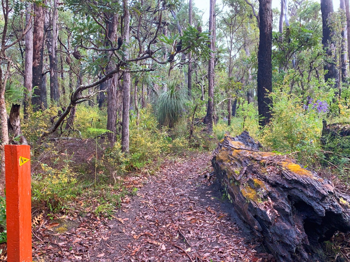
The Bibbulmun Track is a long-distance hiking trail that has been unequivocally designed for walkers and walkers alone. The facilities along the Track and the Track itself have been purpose built for walkers, and there is a network of volunteers who put a huge amount of time and effort in to building, re-building and maintenance of each section along the trail. It is a very big labour of love, and the only long-distance purpose-built trail for hikers in WA.
Motorised vehicles, bicycles and trail bikes are not permitted on the Bibbulmun Track for many valid reasons:
- Many areas on the Track are of high conservation value with unique flora and fauna, so passing on foot is the best way to keep impact to a minimum.
- Dieback is carried easily on tires and poses a serious threat to flora. Find out more about Dieback here. The Bibbulmun Track Maps show these Disease Risk Areas (DRA) clearly, if there is not a red or green car pictured on the map then you are not permitted to drive on that road. You can find more information on our website here.
- High speed vehicles on the Track where walkers are prevalent is a recipe for disaster. Keeping to designated motorised vehicle trails and knowing when you’re on a shared trail will lower the risk of accidents for both drivers and walkers.
We are lucky in the state of Western Australia to have a huge array of different trails, many of which are specifically designed for particular trail users to benefit from.
Our stunning and diverse wilderness here in WA is worth protecting. All types of trail users should be encouraged to consider and respect the guidelines of trail usage to protect our natural biodiversity and the enjoyment of others. We ask that you help us to spread the word by educating your user groups and we will do the same! At the end of the day, we are in this together.
We encourage you to report any incorrect trail use or evidence of, to the local district, or use the SnapSendSolve App. This allows you to quickly and easily send photos or reports to the nearest district office or council. Download the app here.